01
US Town Halls
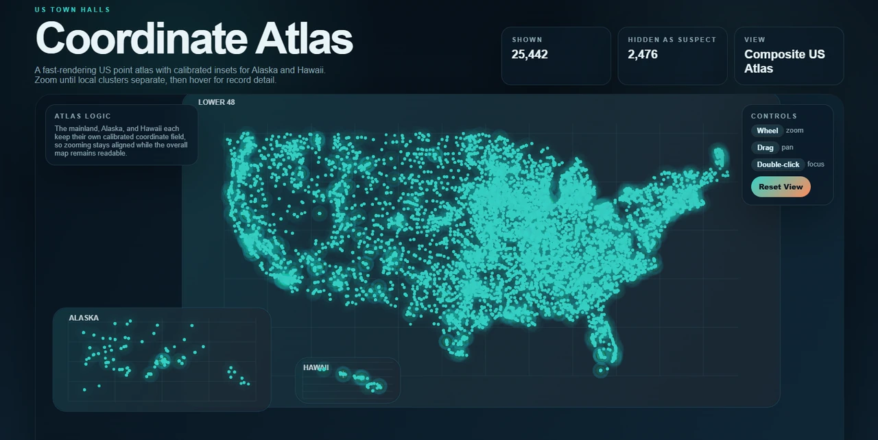
The public US Town Halls repository organizes municipal records for geographic analysis and browser-based visualization. Its Coordinate Atlas renders 25,000-plus accepted points in the published project screenshot while separating suspect records for review.
The project demonstrates ingestion, record validation, geographic partitioning, interface design, and the practical problem of turning large public datasets into something navigable.
02
Laboratory data systems
For Paldara, Daniel developed a lot-and-sample tracking system and a Standard Operating Procedure logging system. The work connected sample movement, process oversight, and research documentation while respecting the confidentiality of facility and biological records.
Across both public and workplace contexts, the recurring pipeline is source data → normalization → structured schema → partitioning → analysis → visualization.
03
Provenance and quality checks
A dependable pipeline preserves where each record came from, what transformations were applied, which fields failed validation, and whether a correction was automated or reviewed. Stable identifiers and explicit schemas make it possible to update a dataset without quietly changing its meaning.
The US Town Halls work shows this concern in public form by separating accepted geographic points from suspect records. The laboratory project applies the same principle to a different domain: trace the sample, procedure, and status while protecting information that should not be public.